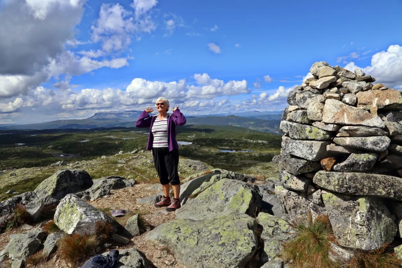
The hike to Sangenuten combines gravel roads, trails and cairns in slightly to moderately hilly mountain terrain. The mast at the top makes it easy to orientate yourself all the way. At 1189 metres above sea level, the landscape opens up into a 360-degree panorama of Veståsen, Ål, Reineskarvet and southern parts of Skarvheimen.
Car park
Parking by Rødungvegen in the square by Turrhaug.
Hike description
The tour starts on a gravel road before turning onto a cairn path in mountainous terrain. For the last few kilometres, you walk in an open and gently undulating high mountain landscape, with a steady climb to the top. The cairns are clearly visible and it's easy to keep your bearings, especially with the mast at the top as a clear target point.
Tips
There are several alternative trails in the area, so you can extend your trip if you wish, or turn it into a round trip.
The map track on web portals can be somewhat roughly drawn, follow clear markings and cairns in the terrain as a general rule.
Map
- Ut.no
- Hiking map Veståsen/Sangefjell 1:50 000