Car park
Park at Slakteplassen or the large car park below Rødungstøl Høyfjellshotell. There is a parking fee.
Hike description
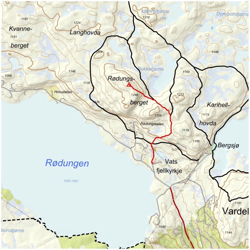
From the car park, follow Tovikvegen in the direction of Rødungstøl Høyfjellshotell. The trail starts just behind the hotel and winds its way up the hillside. There may be some wet sections early in the trail. After about a kilometre you'll come to a junction - turn right here.
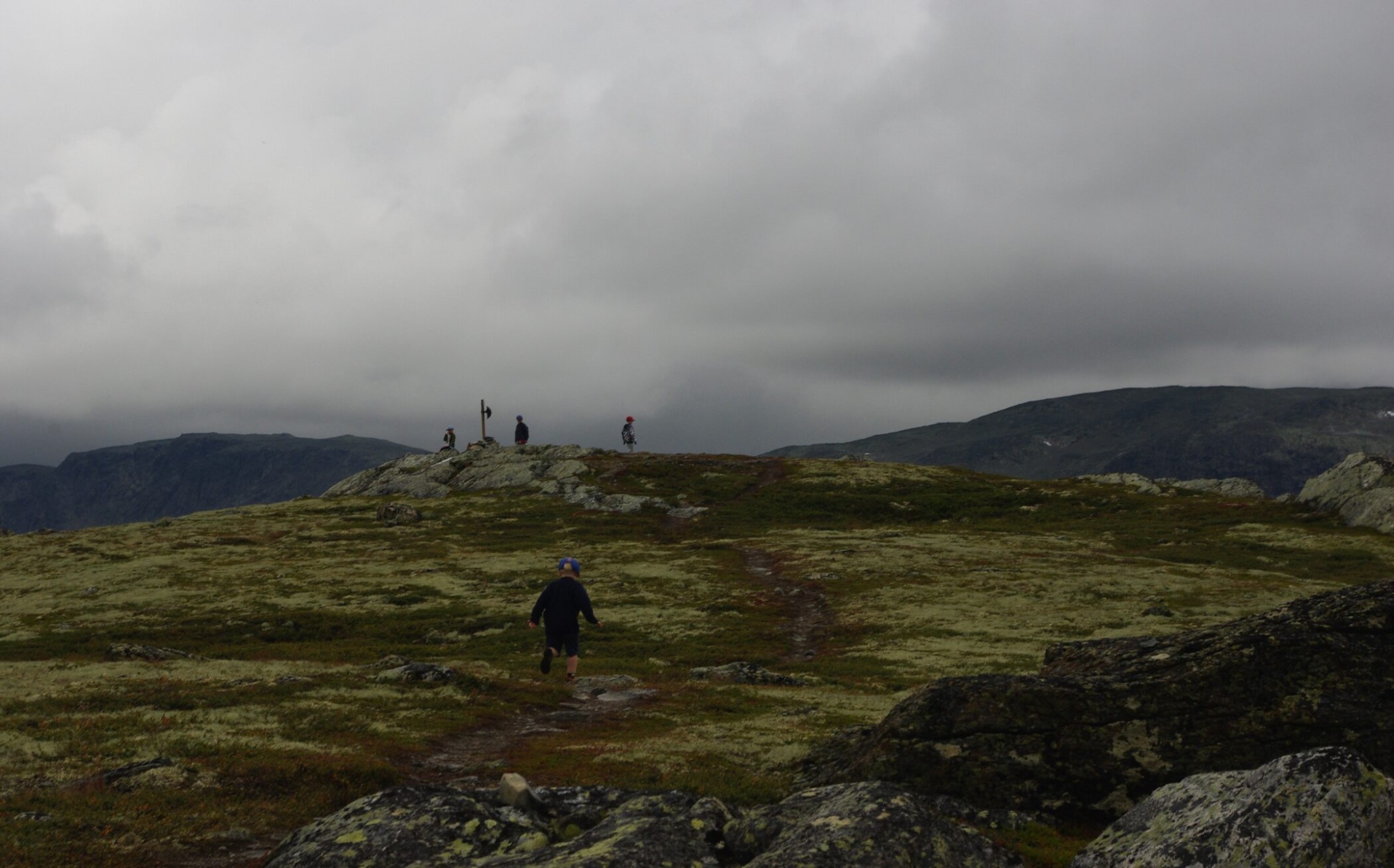
Eventually, the terrain flattens out and you will see Bukketjørn on your right. Rødungsberget rises in front of you to the left. Take the path to the left and follow it straight up to the summit at 1248 metres above sea level. Here you get a panoramic view that is well worth the hike.
You can return the same way, or turn the hike into a round trip by returning to the junction and following the path further west. You will then enter a cabin area west of Rødungstøl and can follow the mountain road back to the starting point. Along this road you will pass Vats Mountain Church, inaugurated in 1990.
Tips
Between Holustølen and Osestølen, along Rødungen, there are remains of older coal and iron mining facilities, as well as remains of old settlements.
Map
- Ut.no
- Reineskarvet 1:50 000