The trail is well organised with a restored stone bridge, benches, a viewpoint and information signs telling you about life at the farm and the people who lived here. Along the trail you'll pass the Nyehuso homestead, the foundations of the spring barn at Helling and the remains of old stone quarries. At the top of the hill you'll find a picnic area with a view of Øvre-Ål, and for those who want to continue, it's possible to extend the hike to Damtjørne with a shelter, fire pit and traces of the Stone Age seabed.
Car park
Signposted parking at Helling in Øvre-Ål.
Hike description
The hike starts at Helling in Øvre-Ål, where a restored bridge over Helling-grove marks the entrance to the trail. After approx. 300 metres, the trail splits:
- If you turn left and follow the stream upwards, you'll take the shortest but steepest route.
- If you turn right, you'll get a gentler climb along the edge of the pasture, through a beautiful and well-preserved cultural landscape.
Both routes take you to Hellingstølen (800 metres above sea level), where there is an organised picnic area on the mountain just below the hut. From here you can turn around and return to the start, or choose to continue up to Damtjørne. By the water there is a shelter with a fire pit, and you'll find a stone slab with wave impact marks, which is a geological memorial from the time when the area was under the sea.
Tips
There may be grazing animals in the area, so be considerate and keep your dog on a lead.
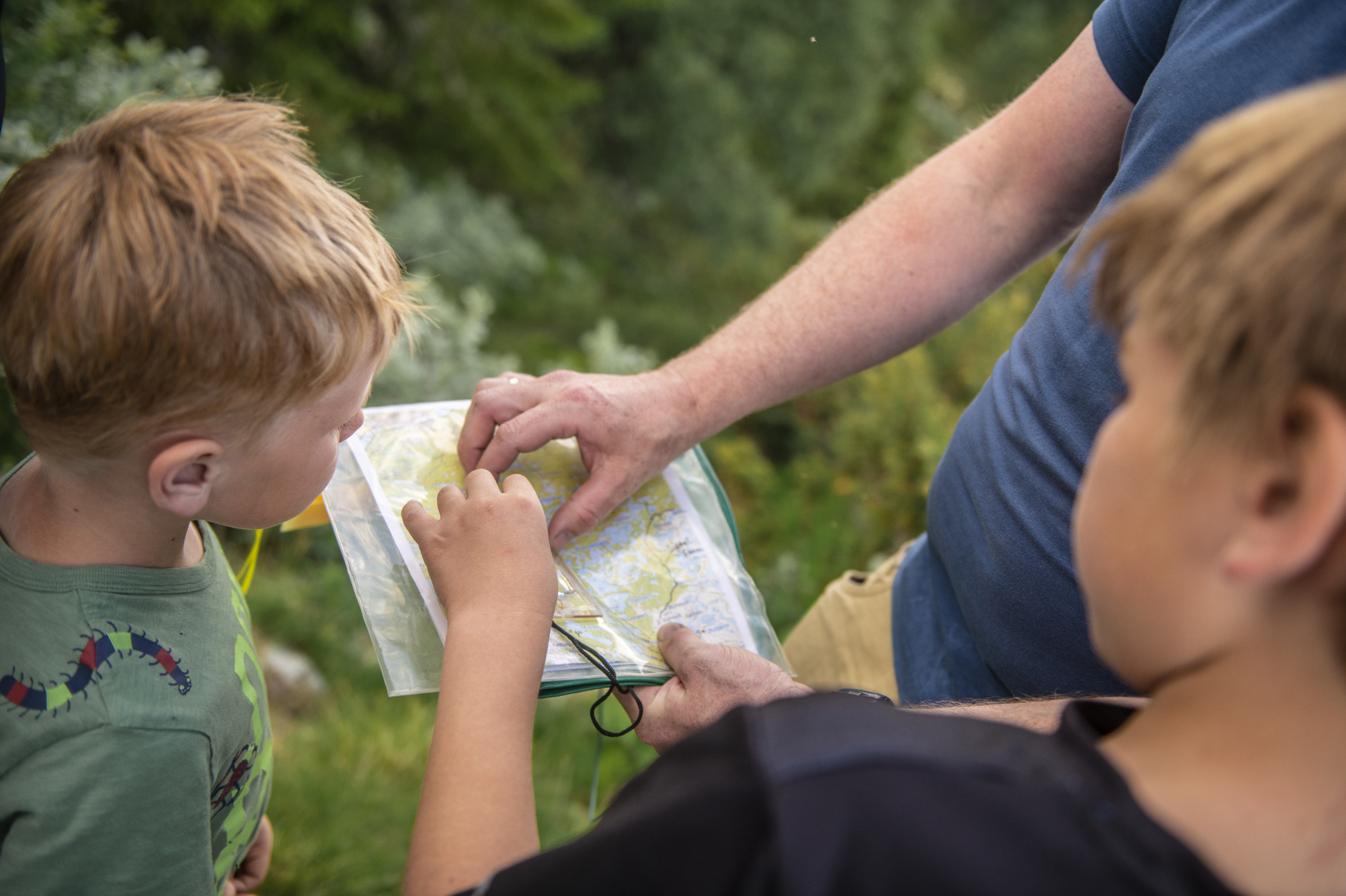
Map
- Ut.no
- Hiking map Reineskarvet 1:50 000