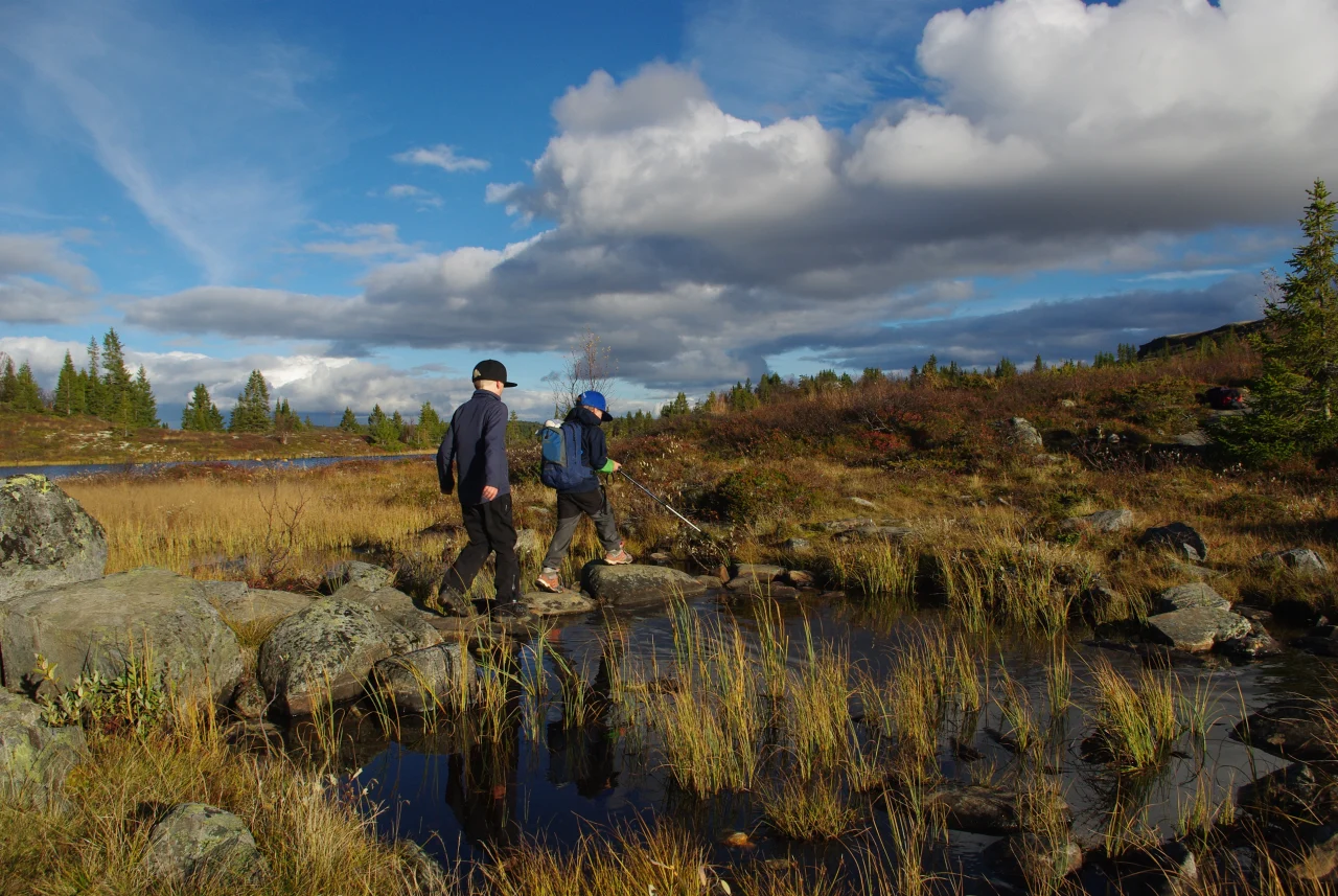
The hike to Bispen is manageable and is well suited as a short summit hike, or as the first stage of a longer day in the mountains. The terrain is slightly hilly with some marshy areas. On a clear day, the views are impeccable and there are several nice places to rest along the way.
The mountain is named after the characteristic silhouette you see from Bosset. To many people, the profile of the mountain looks like a "distinguished bishop" with both a long nose and a round belly. The name 'Bispen' means 'The Bishop' in Norwegian.
Car park
Parking at Bosset, which is the natural starting point for both the hike to Bispen and the round trip to Dyna. Follow signs from the main road.
Hike description
The tour starts from Bosset and follow the signposted path towards Restjørnane and on towards Dyna. After about 2.2 kilometres, take the path to the left and follow the sign for Bispen. From here, follow a new and clear path for about 800 metres to the top.
From the top you get great views in all directions: Sangenuten to the west, Dyna to the south, and wide mountain ranges on all sides.
If you want a longer round trip, you can return to the trail junction and continue south towards Dyna, on to Oddetjørni, and then back to Bosset. This makes for a nice full-day hike in varied mountain terrain.
Tips
Remember to wear waterproof shoes if it has rained recently, some areas may be wet.
Map
- Ut.no
- Turkart Skarvheimen / Reineskarvet 1:50 000